Category: Cycling
-

Transport for New Homes were consulted in the preparation of this new report from CPRE London.
Posted in: Active travel, Buses, Car park conversion, Cycling, News, Parking, Planning, Public transport, Walking, Wheeling -
A test case as to whether we are serious about saying ‘no’ to locations that are not sustainable when it comes to transport.
Posted in: Buses, Climate change, Cycling, Design, Garden communities, News, Parking, Rail, Walking, Wheeling -

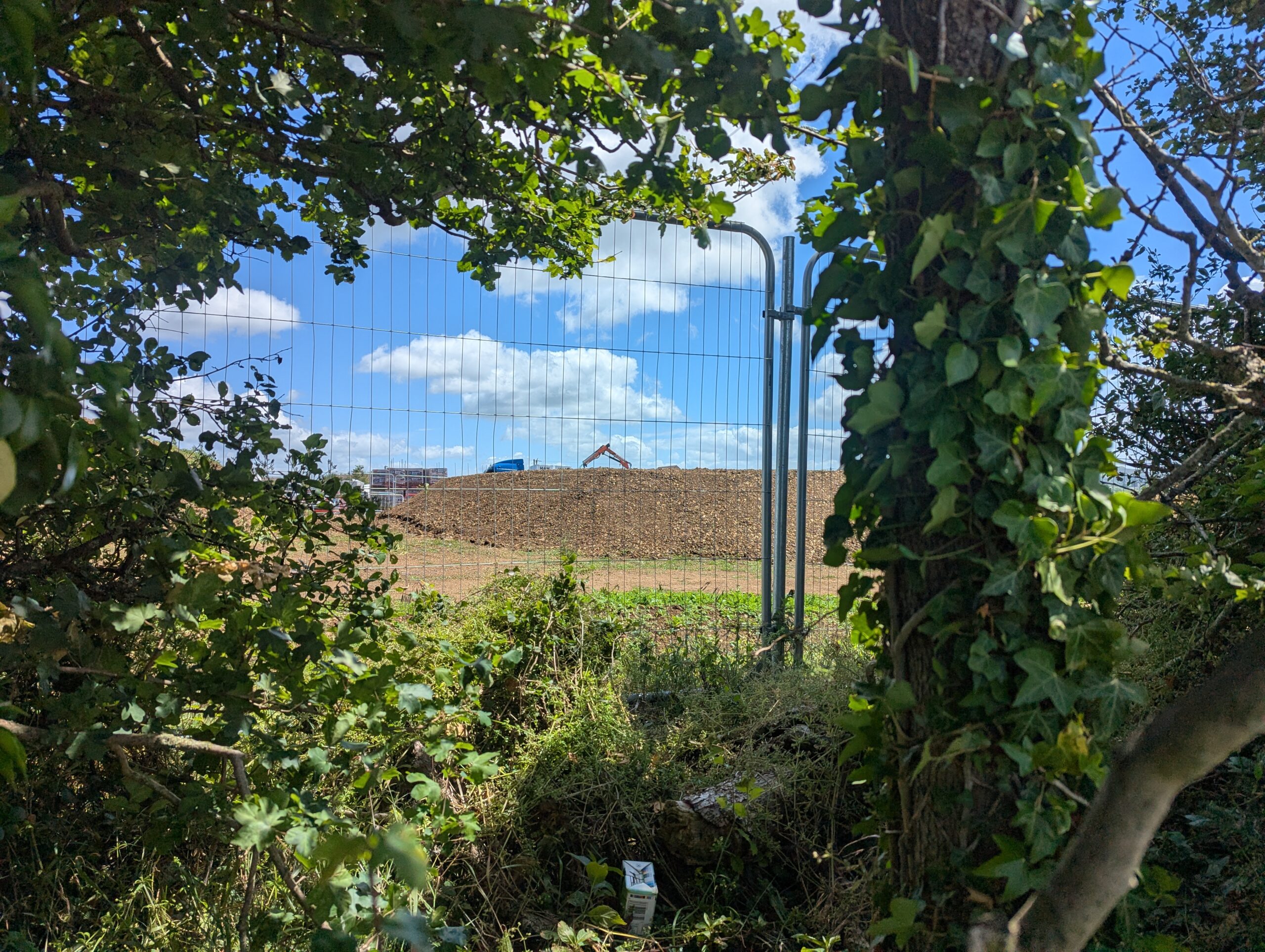
When we visit new housing estates something is usually missing.
-

What is being built in 2026? We want to find out. This year, we will focus on new towns, both proposed and already existing. What worked? What didn’t? What can we tell about the locations selected for the proposed new towns? Are they car dependent transport deserts or do they have the potential to be…
Posted in: Active travel, Buses, Climate change, Cycling, New towns, News, Planning, Public transport, Rail, Research, Trams, Walking, What is being built in 2026?, Wheeling -

Will developers be able to bypass local plan production?
-

In many of the local authority areas which have been given high targets, more people are dissatisfied with the quality of public transport.
Posted in: Buses, Cycling, News, Planning, Public transport, Rail, Trams, What is being built in 2025? -

There is another way to build new homes quickly and sustainably.
Posted in: Buses, Car clubs, Climate change, Cycling, Design, News, Parking, Planning, Public transport, Rail, Trams, Walking, What is being built in 2025?, What is being built?, Wheeling -

Poundbury is mixed development built around streets and walkable community facilities.
Posted in: Buses, Climate change, Cycling, Design, News, Parking, Planning, Public transport, Rail, What is being built in 2025?, What is being built? -

New housing needs to be connected to safe and convenient cycle routes.
Posted in: Climate change, Cycling, Design, News, Planning, What is being built in 2025?, What is being built? -
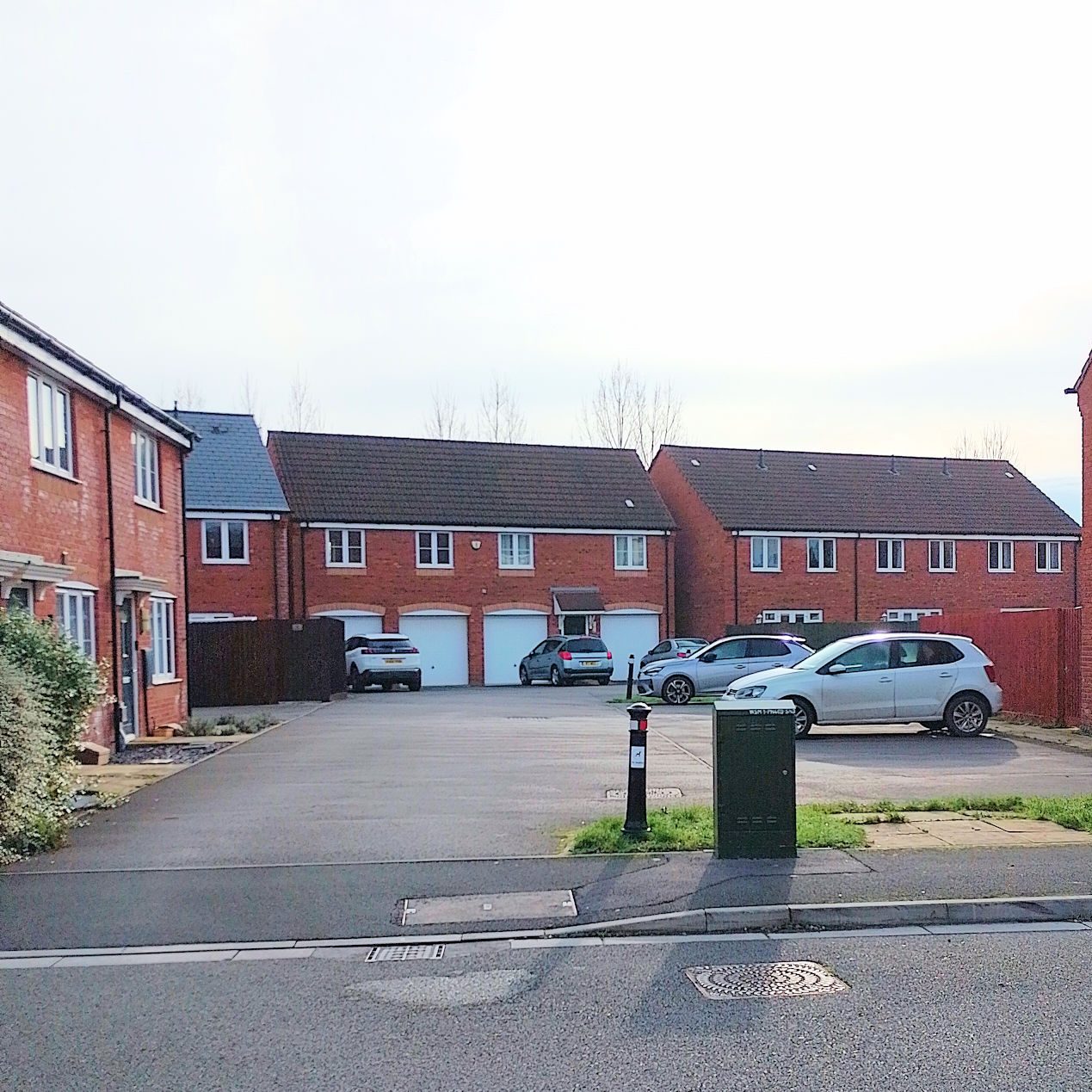
Urban form follows the transport modes that are available.
Posted in: Buses, Cycling, News, Parking, Planning, Public transport, Walking, What is being built in 2025?, What is being built?