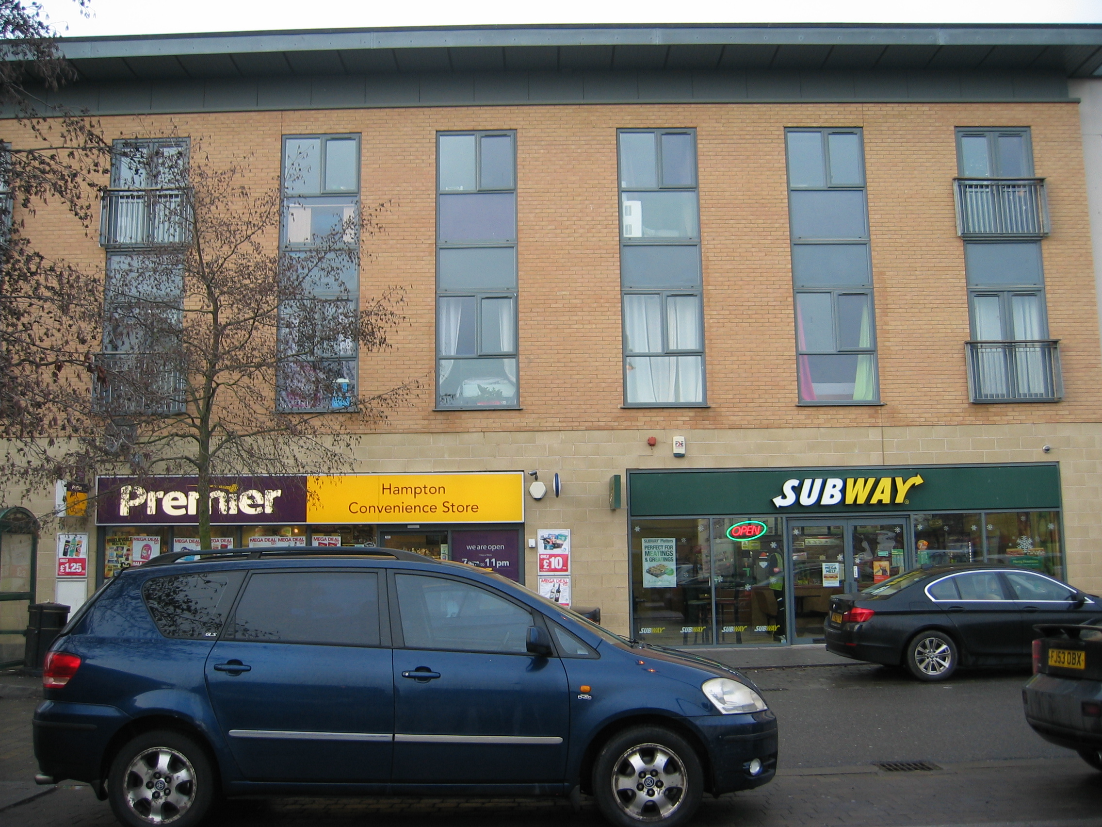
Tag: Mixed use

Postcard from Asphalt St Michael

Transport for New Homes: a story told in postcards

John and Jill have been house-hunting in some recently-built developments. They sent these postcards back to show what they found.

Since John and Jill don’t drive, they have been using trains and buses to get to the new housing areas, sometimes with adventures on the way. In the end they do find places to suit their needs and the variety of places they visit is an education in itself…

Greetings from Chipping Tarmac
Wishing you were here at Cowpat Newton
Greetings from Gardenwick
Greetings from Princeborough
Greetings from Asphalt St Michael
Quaggytowers: wish you were here
Verdantchester
previous arrow
next arrow
 

These postcards are of course fictitious and are generally composites of several new housing developments. However they serve to highlight some of the issues that Transport for New Homes sees as important to planning, namely walkability, living without a car, and good access to public transport and cycling networks.

To find out more about how new housing can be built so that residents don’t need cars for every journey, why not sign up for our e-newsletter or follow us on Twitter or Facebook?

Bus

Planning for transport demand through the Decide and Provide Approach

What will the likely transport impact of a new development be? How many trips is it likely to generate? To work this out, transport planners use TRICS, which is a database of information about the trips generated by past developments.

In the past, TRICs has been used as part of a ‘Predict and Provide’ paradigm, which tends to mean ‘predict how many people will want to drive places, and provide road space for them’.Lynn Basford

But this year the consortium behind TRICS released new guidance calling on transport planners to instead ‘Decide and Provide’: decide on the preferred future and provide the means to work towards that. In this guest blog, Lynn Basford of BasfordPowers Ltd, which helped to produce the guidance, explains its implications.

 Insanity is doing the same thing over and over again and expecting different results.”
– Jane Fulton, a character in Rita Mae Brown’s “Sudden Death”, 1983

The way that we think about planning for the future is beginning to change and needs to change in light of the UK’s commitment to decarbonising its economy, the Covid-19 pandemic and the digital connectivity that we are now presented with.

As Professor Glenn Lyons recognises in his Foreword to the new guidance released by TRICS this year, “We live our lives within a “Triple Access System” comprised of different and interacting means of being able to access people, jobs, goods, services and opportunities” (the Triple Access System refers to the transport, land-use and telecommunications systems). This needs to be reflected in the way we approach planning for homes and services.

We as land use and transport planners need to embrace the requisite for change and ensure our Local Plans and site specific plans reflect these societal shifts.

The tools that we use in land use and transport planning, and how we use them, need to reflect changing consumer and travel behaviour.

A very well used tool in transport planning is TRICS. TRICS has an ever growing database (some 7,150 transport surveys) of observed trip rates associated with different types and scales of development. It has been a well-used if not default source for supporting the estimation of trip rates associated with new developments. Such measurements have guided the requirements for transport infrastructure and services.

 If you always do what you’ve always done, you always get what you’ve always got.”
– Henry Ford, American Industrialist and Founder of the Ford Motor Company

The common use of the ‘Vehicle Only’ TRICS calculation which looks at vehicle and cycle trips can conspire against sustainable development if not used carefully and can lead to the over provision of highway capacity and the potential under provision of walking, cycling and public transport infrastructure and services. This common use (whilst heavily guarded against in the TRICS Best Practice Guidance 2021) equates to a Predict and Provide approach to planning new development.

TRICS does provide multi modal data (walking, cycling and public transport trips), and it is this information along with the analysis of historic trends data that needs to be used to shape developments and plan for sustainable developments.

So how do we stop being insane and planning the same over and over again?

In February 2021 TRICS launched its new Guidance on the Practical Implementation of the Decide and Provide approach. This approach starkly constrasts with the Predict and Provide approach. Its focus is upon deciding on the preferred future and providing the means to work towards that which can accommodate uncertainty. The Decide and Provide approach provides the opportunity to meaningfully prioritise a modal hierarchy giving greater upfront consideration of walking and cycling and asking the three key questions:

  • What sort of place are we creating?
  • What kind of activities do we need or desire to travel for?
  • How will we provide for mobility?

Visioning is central to the Decide and Provide approach. It is essential that transport and land use planners jointly vision development proposals, whether in private sector planning or the public sector development management.

The TRICS new guidance provides us with a detailed methodology for applying the Decide and Provide Approach. For those out there who say that this approach can’t work, TRICS has helpfully provided a set of worked examples including for food retail, discount food retail, large residential, medium residential, residential brown field sites and small residential. Something for everyone!

One of the key take-aways from the guidance is that the TRICS data is showing that trip rates associated with developments are changing and we can change them further by the way we plan new developments.

I believe that we can avoid insanity by embracing this new approach in transport planning which supports the new paradigm of Decide and Provide and we can genuinely get sustainable, adaptive development planning that supports social, economic and travel behaviour change.”

Lynn Basford
Director and Founder of BasfordPowers Ltd

A tale of two developments: why new planning reforms threaten to entrench unsustainable lifestyles

This blog by Steve Chambers, sustainable transport campaigner at Transport for New Homes, was first published by as a guest blog by Green Alliance.

In 2018, Transport for New Homes produced an initial report that revealed the deep flaws in the planning system which leave new housing developments with inadequate walking, cycling and public transport connections to surrounding areas. With limited facilities locally, residents are, for the most part, forced into car dependency.

With lockdown starting to ease in England, we wanted to find out how some of the communities we featured in that report had been getting on over the past year. We visited two new developments in the west of England: Castlemead on the edge of Trowbridge and Bath Riverside in the centre of Bath. How had the developments influenced the lifestyles of residents? Were they delightful and sustainable places to live? And, if not, why not?

Castlemead, Trowbridge

Castlemead is part of large ongoing development on the edge of Trowbridge, Wiltshire, adjacent to the planned Ashton Park urban extension. The context is a series of large distributor roads and roundabouts. Castlemead has one of these roads going right through it: a developer funded bypass for Trowbridge.

Planning permission for both Castlemead and Ashton Park has been plagued by difficulties, including the need to ‘mitigate’ the impact on several bat species, such as the very rare Bechstein bat which has a maternity roost in woodland right next to the developments. In fact, some roads in Castlemead are named in memory of the bats affected, such as Bechstein Meadow and Pipistrelle Crescent.

Castlemead roundaboutCastlemead is too far from the centre of town to be walkable for some people. It is one and half miles to the main shopping district and two miles to the railway station. There is one pedestrian route into Trowbridge but this is not safe in the dark, without pavements for some stretches. Furthermore, once they reach the town, pedestrians need to negotiate a large dual carriageway inner ring road. Walking and cycling are not supported by ‘end-to-end’ infrastructure.

This development is designed around car use with no front gardens because space has been given over to parking. Some homes also have very small back gardens for the same reason. Car based living is necessary because, other than the primary school and a single convenience store, there is nowhere you can easily go without a car. Indeed, even the convenience store is just off a roundabout with a parking area encouraging even local shoppers to visit using their cars. Bus services are also infrequent and inconveniently timed which rules out using public transport for evenings and weekends out.

Castlemead parkingOur research found that residents’ cars are outgrowing the spots provided for them, which means they are encroaching on the pavements and further reducing space for walkers. Tellingly, we didn’t see anyone on foot on the residential roads which must have made it a very isolated place during the pandemic.

How might planning have improved this place? With more homes intended for the area, it is getting closer to the scale that might support a shop or other amenities. But upcoming planning reforms look like they will make it much harder for councils to designate land for general use class E, which covers most local services. Changes to permitted development rights could end up with estates of housing with nowhere at all to shop, work or play, also adding to the pressures on established schools, doctors’ surgeries and other facilities in the nearby town and necessitating car journeys to reach them.

Bath Riverside

Bath RiversideOver the border in Somerset is Bath Riverside. This is another development that was in its early stages when we reported in 2018 and is now substantially complete. About half a mile from the shopping district at the centre of town and 0.8 miles from the railway station, it is immediately apparent that location is everything. It is well within walking distance of the centre.

But what is noticeably different about Bath Riverside is the provision of amenities within the development. What was once a restaurant will reopen post-lockdown as a shared workspace, charging by the day. We found cafes, outdoor gyms, good quality public space, public art and places to sit in the shade. Good sized trees and flower beds have been planted. Many amenities had been added since our last visit, transforming the place.

There were many people travelling on foot, with lots of places to go, even despite lockdown restrictions, both within the development and just beyond.

The development does have some shortcomings. An unnecessary amount of space has been given over to car parking, possibly due to parking standards. This means entrances to homes are being obstructed by cars. That said, thought has been given to minimising the impact of parking with several attempts to hide it away, including underground.

Bath RiversideBath Riverside is a world away from Castlemead. And many of its best public realm improvements, including integration with the existing city, have come about because of planning conditions and mitigations. Without those tools this development could have been very different.

Upcoming reforms threaten to jeopardise such important planning provisions. For instance, the recently released model design code will do little to prevent the car dominance we found at both these estates. The reforms don’t deal with anything as substantive.

Changes to permitted development rights of use class E could also risk the ability to include the cafes and coworking spaces we saw at Bath Riverside. We hope not. The density of Bath Riverside means there are enough people to support these types of businesses which benefit from it being a walkable place.

So, where, out of these two developments, would a family choose to live? The car dependent sprawl of Castlemead or the walkable liveability of Bath Riverside? Sadly, for reasons of affordability and the lack of suitable family sized units in Bath, car dependent Castlemead is a far more likely option.

Instead, we should be building housing in the most sustainable locations in existing towns, where walking and cycling are the natural choice to get around. It would be a grave mistake, both for liveability and our need to become a low carbon society, for planning reforms to make it easier to build car dependent sprawl, far from places of work and other facilities, than to aid sustainable living. From what we’ve seen of the government’s proposals so far, we are at risk of taking the wrong path.

Transport for New Homes supported the development of Green Alliance’s briefing ‘Ensuring investment in transport through the Infrastructure Levy‘.

Cafe

If conservation areas can have a mix of homes and amenities, why can’t newly planned communities?

We’re concerned that a proposed change to ‘permitted development rights’ would make it harder for local authorities to plan communities with a mix of homes, shops and services.

Our Homes Without Jams campaign is all about ensuring changes to the planning system result in new homes being built in the right locations with good transport options, and with all the things residents need at hand so they don’t need to rely on a car.

We responded to the 2020 Planning for the Future white paper and outlined our concerns about proposed changes we thought could make things worse and not better for transport options at newly built homes.

But planning reform is not a sleeping beast and although the planning white paper talked about upcoming radical changes, it is likely we will see incremental reforms proposed in the coming months. These smaller changes could add up when it comes to deciding what kind of new homes are delivered.

The government is consulting on one such change right now, an update to permitted development rights that would come into effect later this year.

Permitted development rights (PDR) speed up the planning process by giving blanket prior consent for changes to building use. Perhaps the most widely known PDR is the ability to convert office buildings to residential. Although this makes it easier to create more homes, questions have been raised about the quality of the homes and their location.

The consultation that is currently out proposes to allow many more buildings to be converted into residential.

In 2020, as a precursor to this, the government made another change to the planning system that consolidated the way we categorise buildings. This is a system known as use classes. The change took a very wide range of land uses, from offices to shops, restaurants, medical and light industrial and put them in a new unified commercial, business and service use class E.

This change allows a lot of flexibility for high streets and town centres. If a local authority designates the buildings in a neighbourhood centre for use class E it means all sorts of amenities and trip generators such as employment and retail/hospitality can set up without the need for a planning application to change use class.

However, the latest proposal to add the permitted development right to residential for all of use class E means it will be very difficult for local authorities to plan communities with a mix of homes and amenities. Although planning permission might be granted for a hub of use class E surrounded by new homes, it would be very easy for the developer to exercise the new PDR right to convert those amenities to residential.

In our 2018 and 2020 reports we found that new communities are being built without basic facilities like local shops, which means the only way to do anything is to drive.

The government consultation suggests an exemption might be possible for conservation areas. But why an exemption there and not for newly planned communities?

We are concerned that this new PDR will remove the ability to plan for communities where residents can easily walk and cycle to basic amenities and live fulfilling, healthy lives without the need to own a car. We think this change will result in more estates with nothing but houses.

The consultation is open until 28 January 2021.

Together with 18 other organisations we have had a letter published in the Telegraph on this issue; the text of the letter can be read here.